Vol knight
Text a Buddy!
- Joined
- Oct 2, 2013
- Messages
- 8,985
- Likes
- 3,155
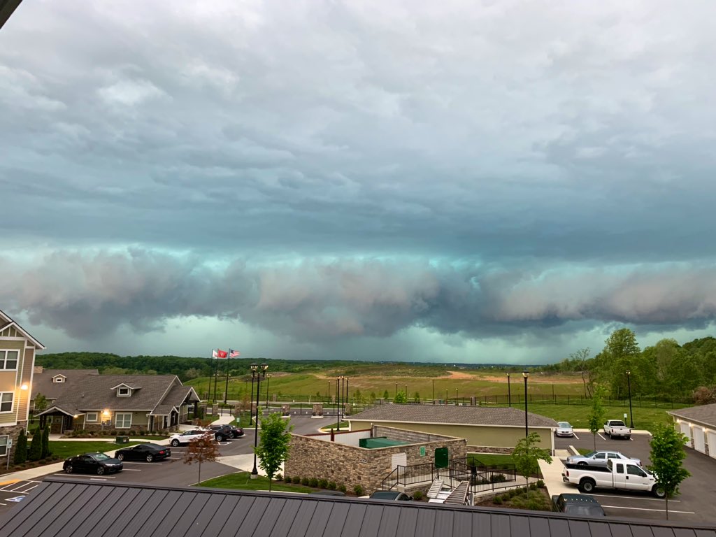
Alert!!!!!!!!!!!!!!
The National Weather Service in Morristown has issued a
* Severe Thunderstorm Warning for...
Rhea County in east Tennessee...
Meigs County in east Tennessee...
Hamilton County in east Tennessee...
* Until 745 PM EDT.
* At 702 PM EDT, severe thunderstorms were located along a line
extending from 9 miles southeast of Sparta to near Dunlap to near
Bridgeport, moving east at 70 mph.
HAZARD...60 mph wind gusts.
SOURCE...Radar indicated.
IMPACT...Expect damage to roofs, siding, and trees.
* Locations impacted include...
Chattanooga, Dayton, Decatur, Soddy-Daisy, Signal Mountain, Spring
City, Walden, Lakesite, Ridgeside and Fairmount.
This includes Interstate 75 in Tennessee between mile markers 1 and
15.