
flatiron
Well-Known Member
- Joined
- Nov 11, 2013
- Messages
- 1,147
- Likes
- 1,738
This. Socks, regardless of material need to fit snug to avoid unnecessary movement. Personally, I think most hiking socks are too thick, unless you’re going in frigid conditions. My summer hiking shoes fit like my running shoes and I use a thinner sock.Not a must have as they aren't a true waterproof, but for me it's if I am crossing a stream and have to rock hop I have a better chance of keeping my feet dry even with a quick misstep - water will get in quicker on the not waterproof versions. That's just my experience.
I wear cotton socks and get no blisters. I think blisters are because of bad fit of socks/shoes. My hiking shoes are 1/2 size bigger than my tennis shoes even though my normal size could probably still fit. Got to have room for those toes going downhill.
I use Gaia, and pay for the regular membership (the premium membership gives you a lot more maps though). You can use current and historical topo maps, it will track you in airplane mode and all your hikes backup and sync online.
I was reading the reviews for gaia and it seems like alot of people were having GPS trouble since a recent update.
This. Socks, regardless of material need to fit snug to avoid unnecessary movement. Personally, I think most hiking socks are too thick, unless you’re going in frigid conditions. My summer hiking shoes fit like my running shoes and I use a thinner sock.
I’ve been thinking about using it. I’m assuming you’re happy with it?
Red (the wife) is a fan of it being compatible with her watch.Yes, it’s my go to tracker. Works offline, has an Apple Watch app, you can export tracks and the subscription is reasonable. I also use one called Maps3D that’s for iPhone only. It lacks the watch app and ability to sync, but it shows the terrain you’re hiking in 3D, which is pretty cool.
Red (the wife) is a fan of it being compatible with her watch.
Is that the Mt. Cammerer fire tower? I really enjoyed that hike...I did it on a weekday and had the tower to myself after 2 thru hikers left after sleeping in it for the night.....Another hike I need to redo is Ramsey's Cascades...the only time I hiked it was a miserable experience..it had rained alot the previous days and all I remember was tripping over tree roots, slippery rocks, and hiking miles it seemed in a trail flooded up over my anklesMade it up to the Greenbrier Pinnacle overlook and the old fire tower site the two Saturdays ago. Despite being abandoned in the early 80s the old Jeep road/trail is still easy to follow and it’s only overgrown in a few spots. The entire hike was only about 10 miles roundtrip.
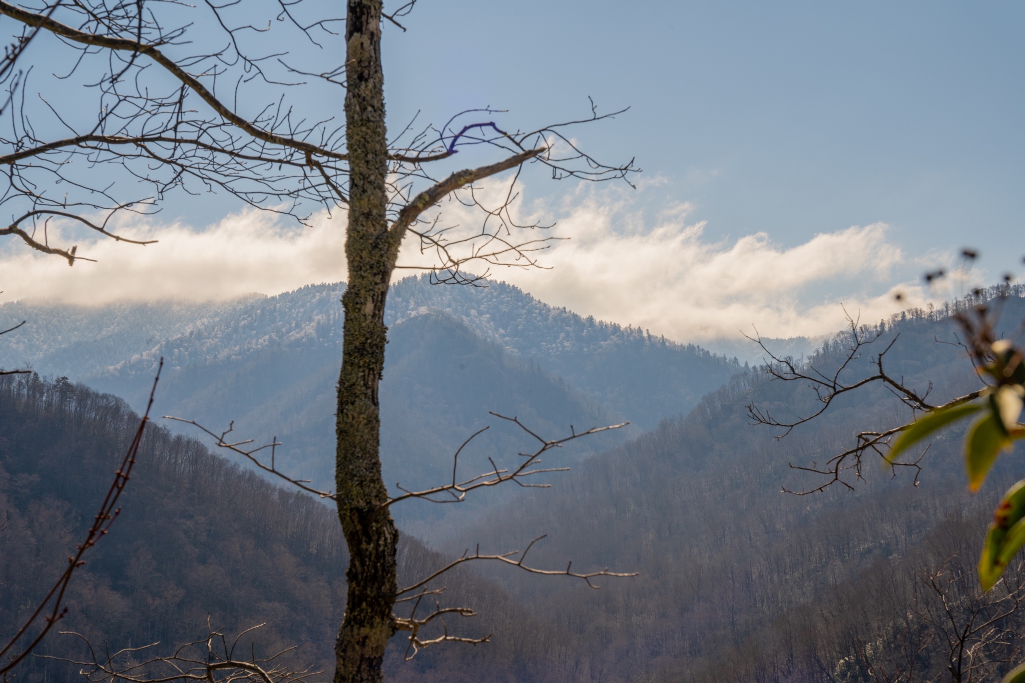
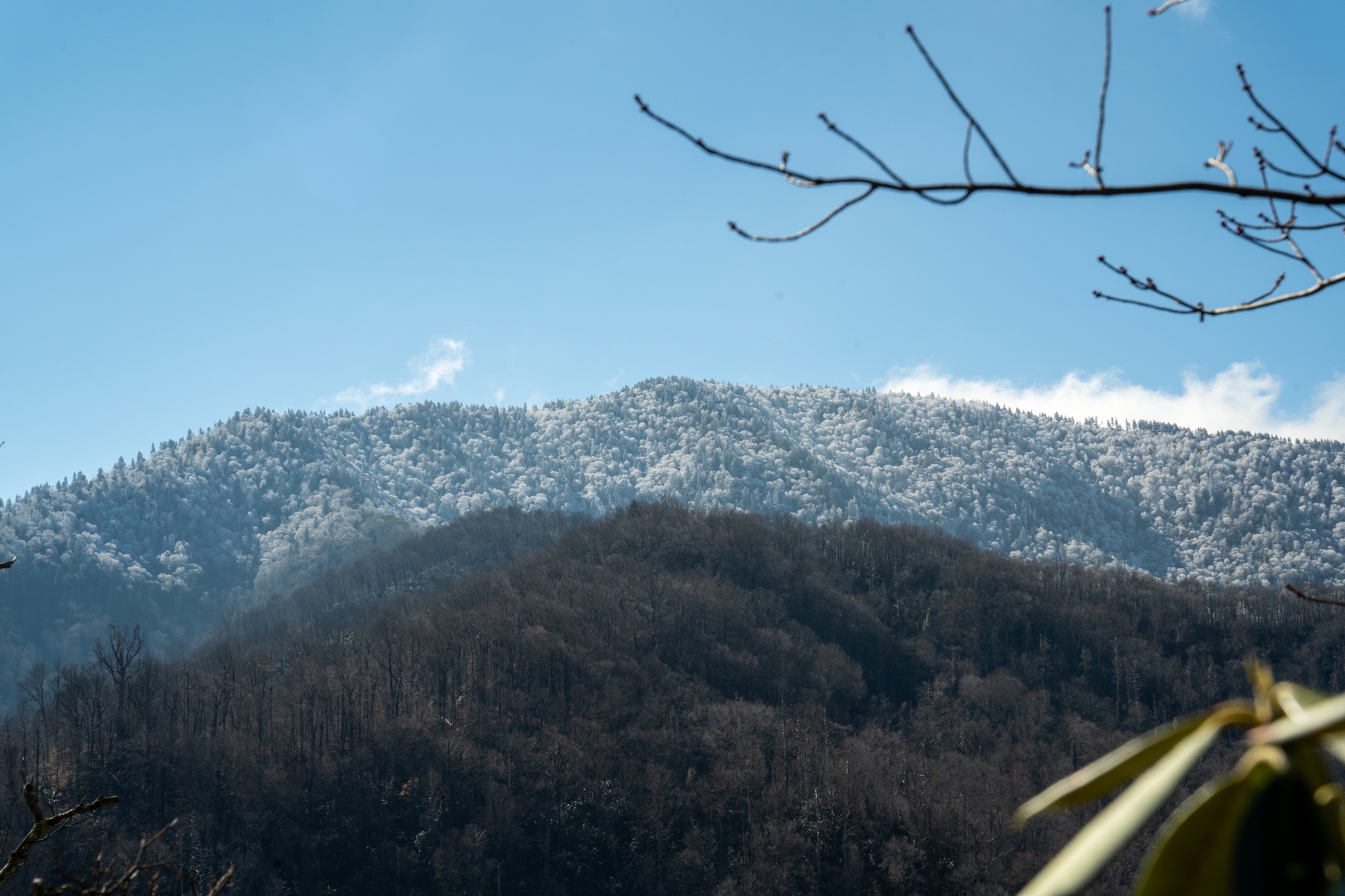
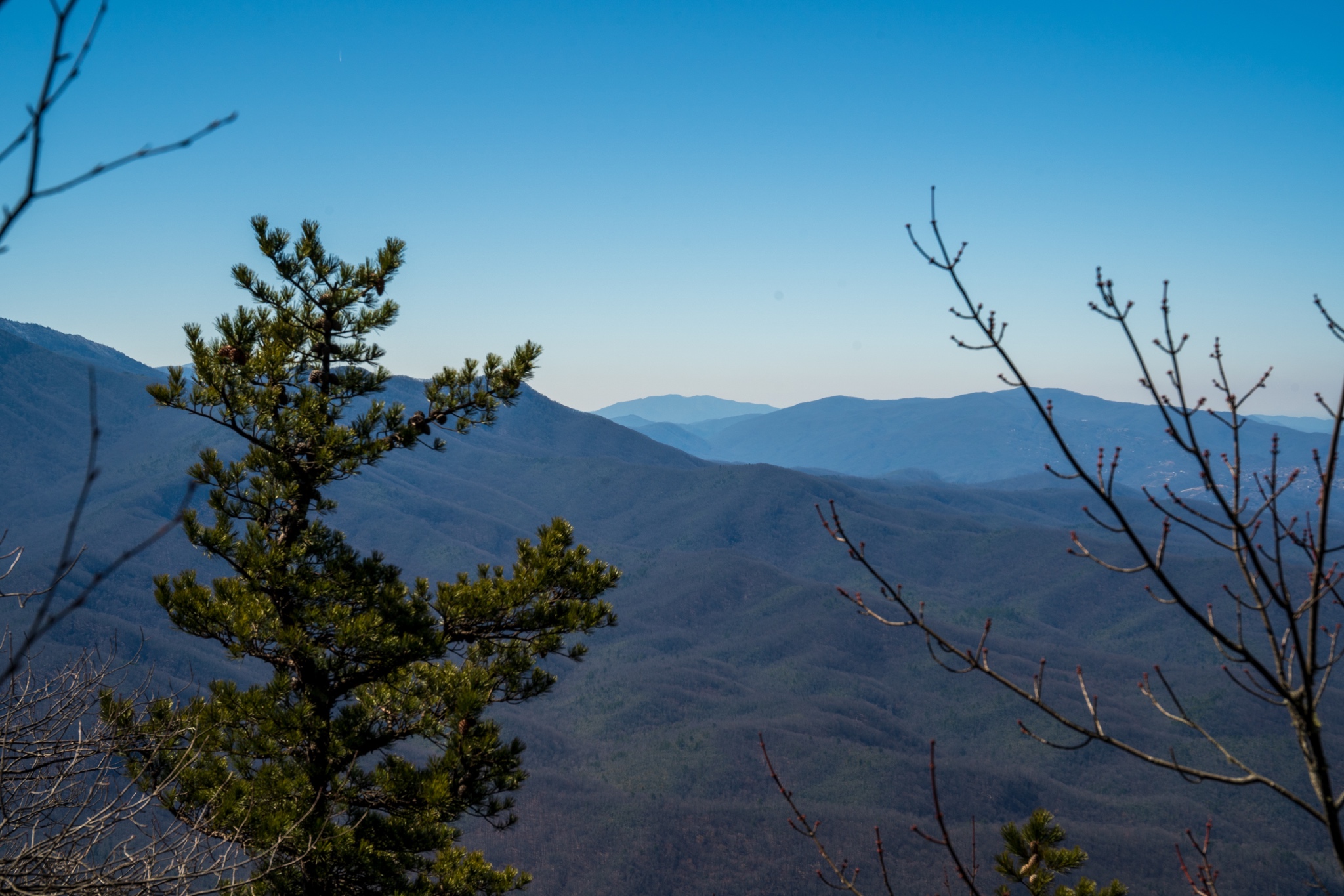

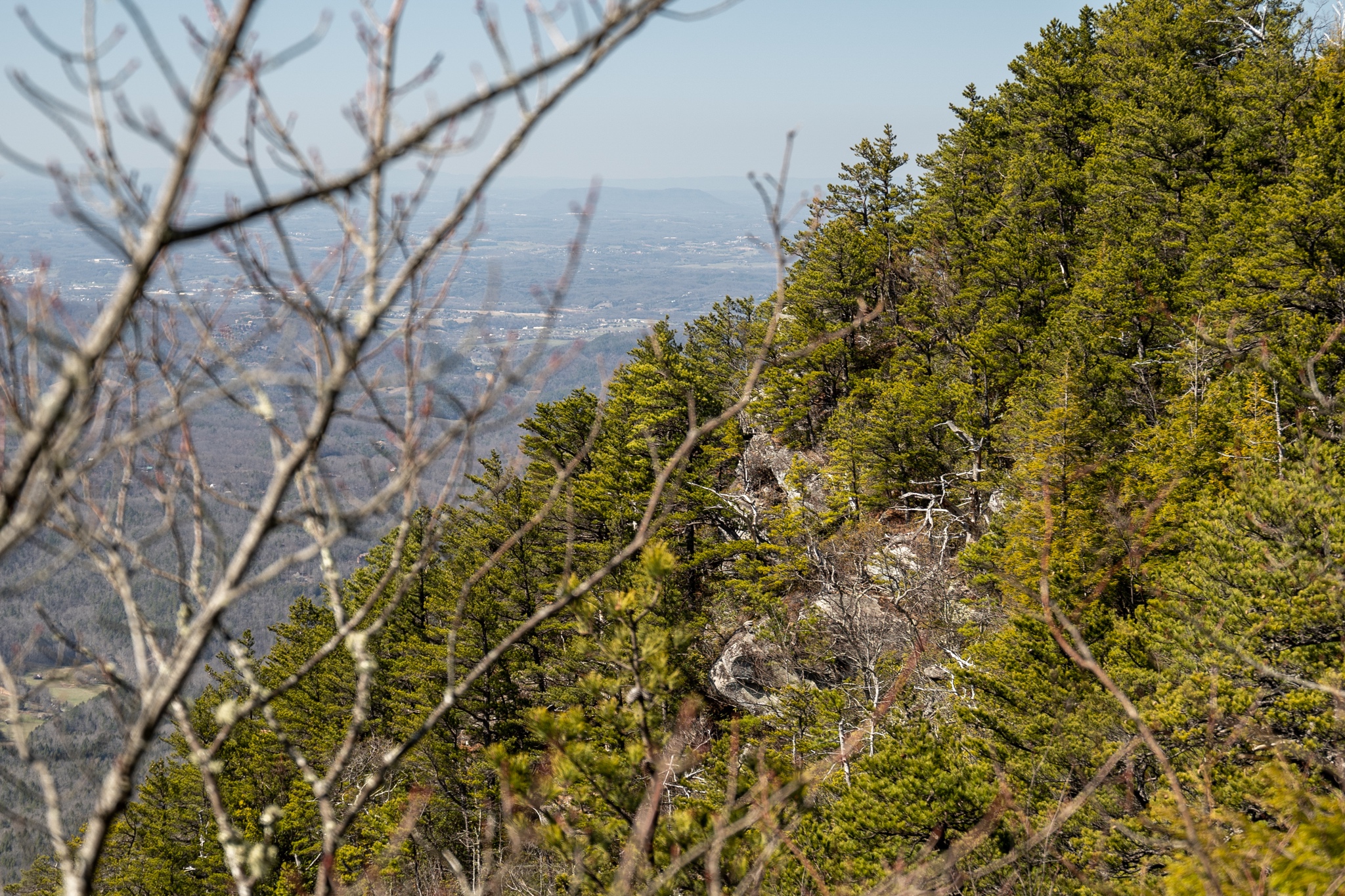
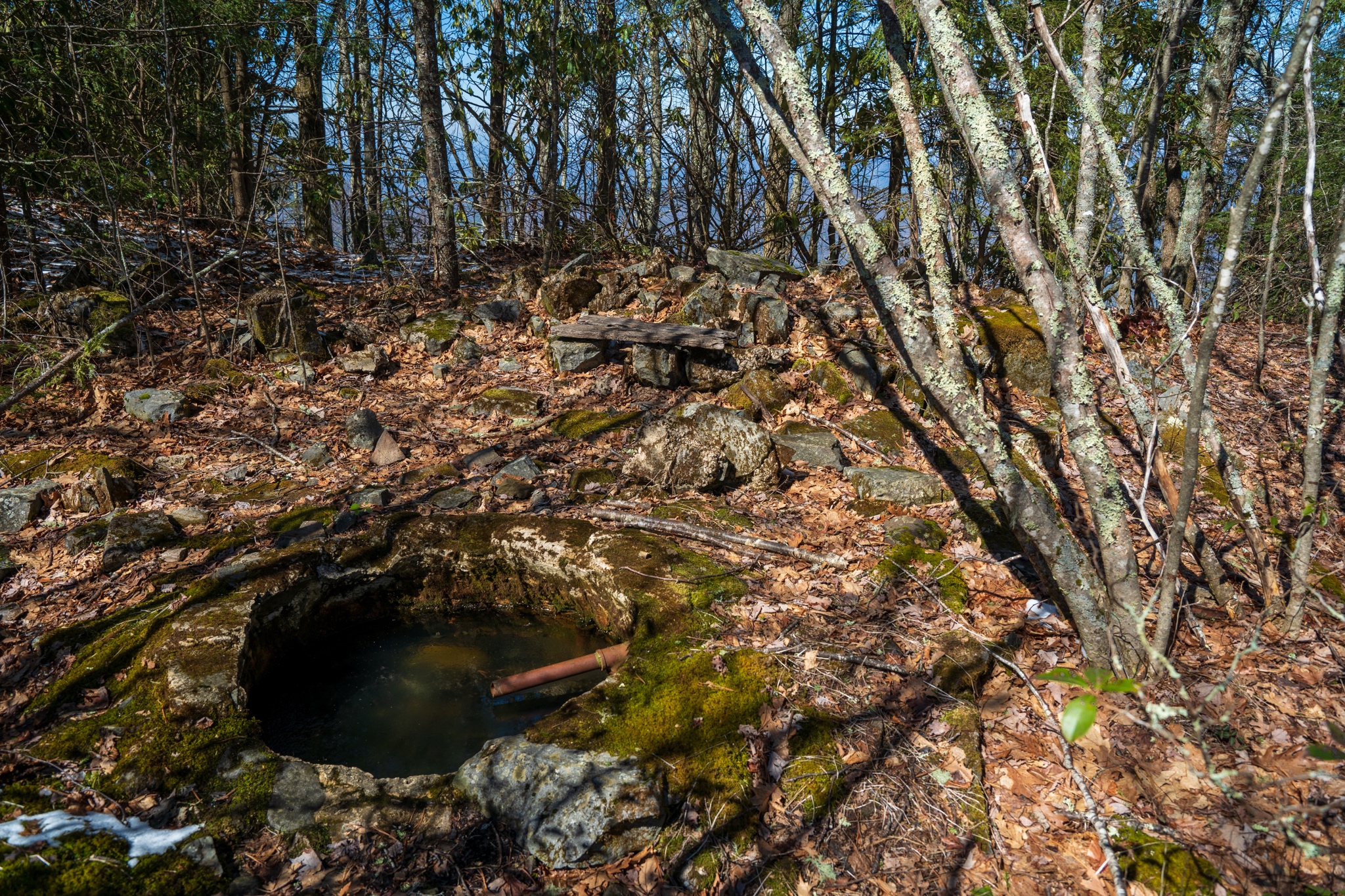
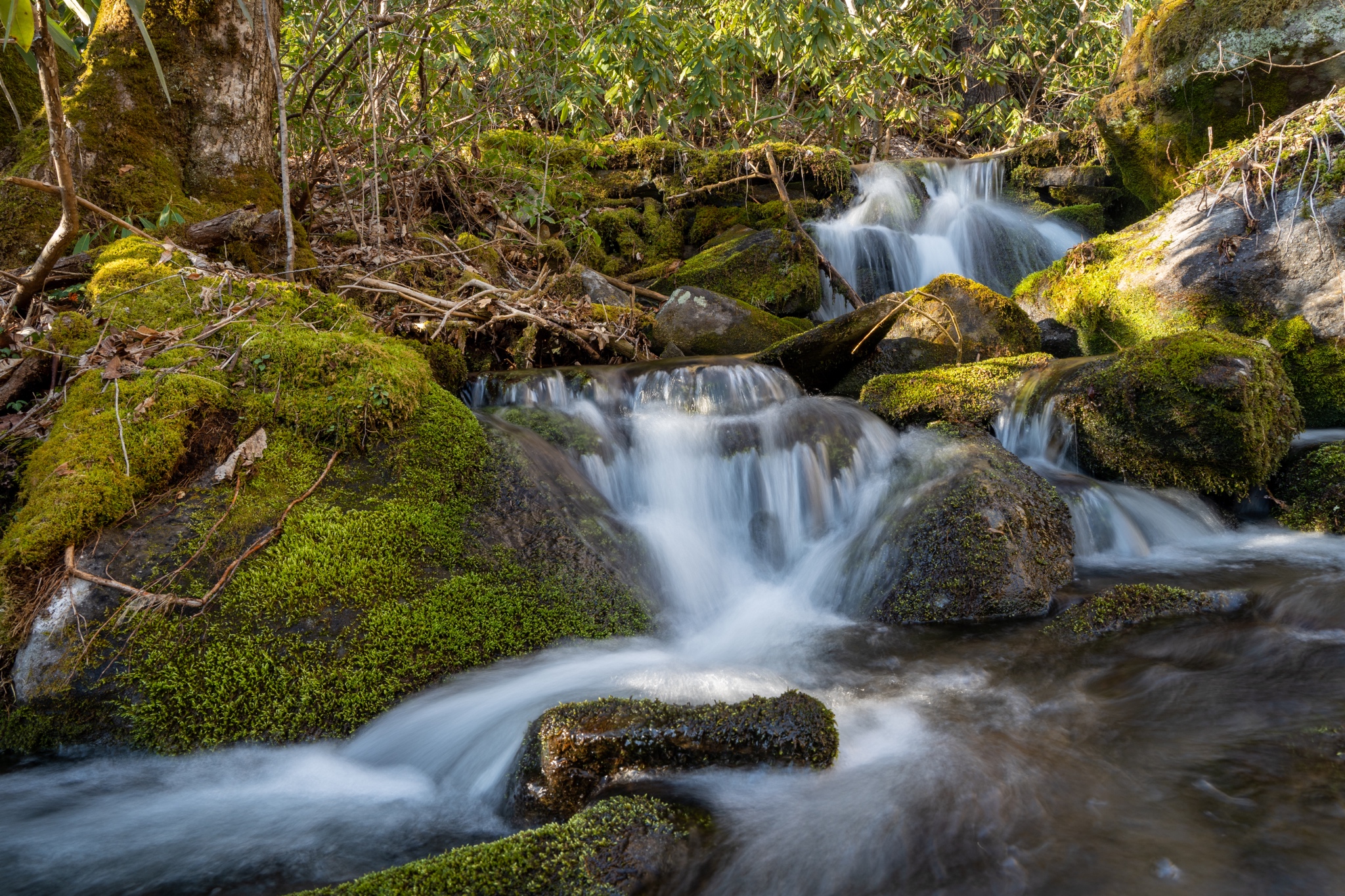
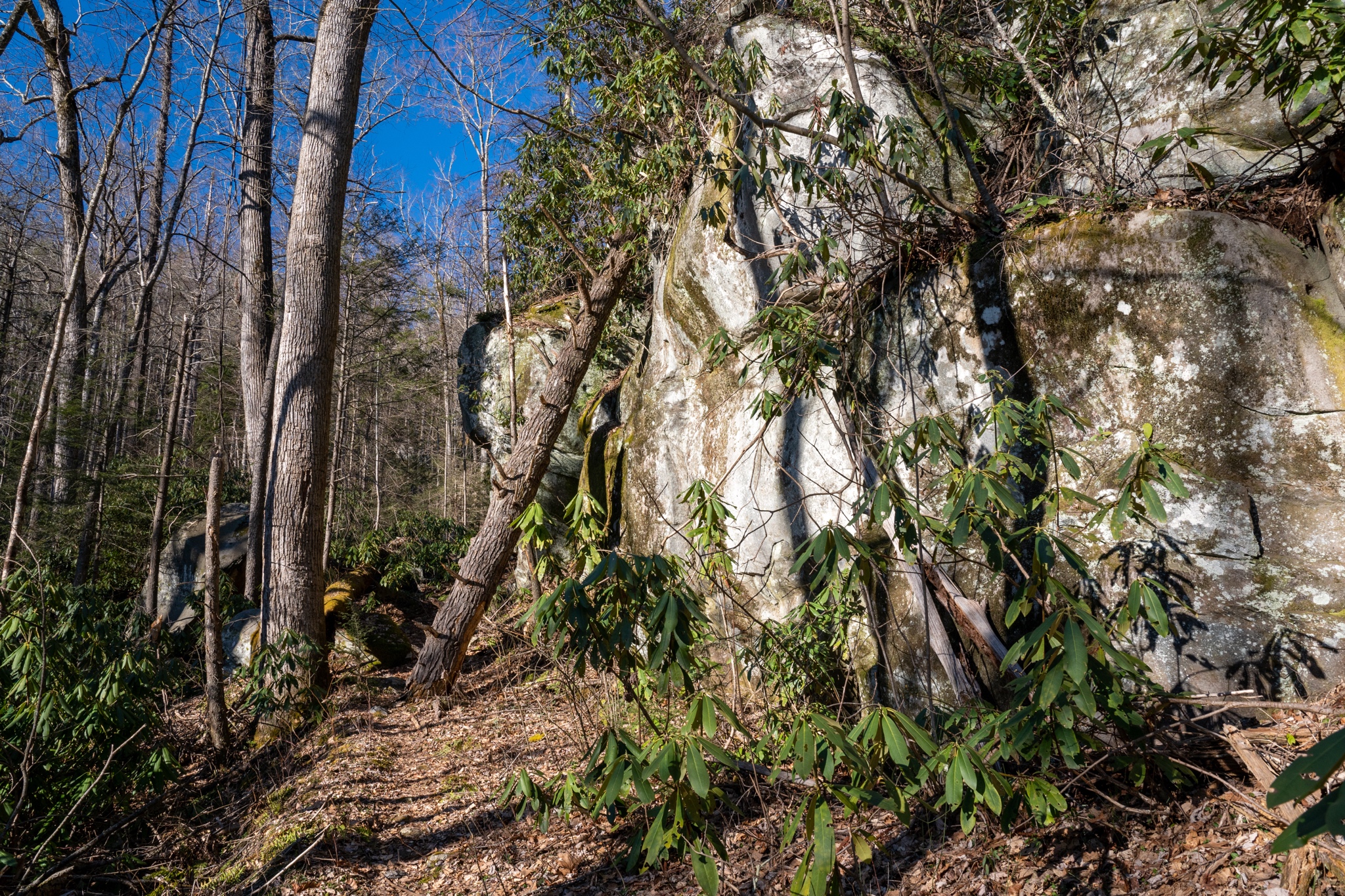
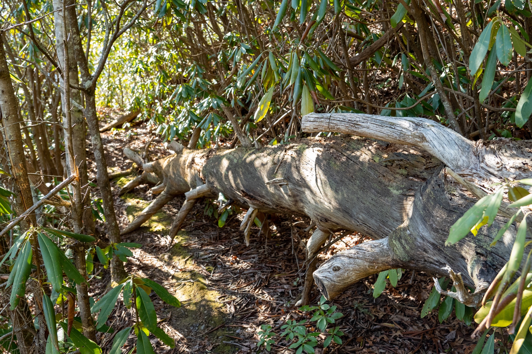


Is that the Mt. Cammerer fire tower? I really enjoyed that hike...I did it on a weekday and had the tower to myself after 2 thru hikers left after sleeping in it for the night.....Another hike I need to redo is Ramsey's Cascades...the only time I hiked it was a miserable experience..it had rained alot the previous days and all I remember was tripping over tree roots, slippery rocks, and hiking miles it seemed in a trail flooded up over my anklesView attachment 267105View attachment 267106View attachment 267107
I'm hoping the mountain rain forecast for Saturday changes!With everything else shut down..good time to hit the trails!
View attachment 267090
I enjoyed this hike... but I got a bit to smart... went over the backside of the tower, steep decline, because I just knew there had to be a shortcut to the lower trail back. Lol... got hung up in the thickets and struggled to get back up to the tower. Don’t think there was a short cut.Is that the Mt. Cammerer fire tower? I really enjoyed that hike...I did it on a weekday and had the tower to myself after 2 thru hikers left after sleeping in it for the night.....Another hike I need to redo is Ramsey's Cascades...the only time I hiked it was a miserable experience..it had rained alot the previous days and all I remember was tripping over tree roots, slippery rocks, and hiking miles it seemed in a trail flooded up over my anklesView attachment 267105View attachment 267106View attachment 267107
I enjoyed this hike... but I got a bit to smart... went over the backside of the tower, steep decline, because I just knew there had to be a shortcut to the lower trail back. Lol... got hung up in the thickets and struggled to get back up to the tower. Don’t think there was a short cut.


He was in a tree, down in a gully, eye level with us, at a safe distance (for both of us). It was the ideal viewing.
 I love that north SC hiking area (got engaged at Caesar's Head), but I don't think I have been on that trail, looks like a nice one!
 )
)


